Released Week of September 24th
Updated DTN Data
*Requires subscription to Pro with purchase of DTN data
- 2024 DTN data was updated and made available to customers with a subscription
Released Week of September 2nd
Merging Split Polygons
If you split a parcel or field for any reason using the edit tools in CamoAg, you now have the option to merge the shapes back together.
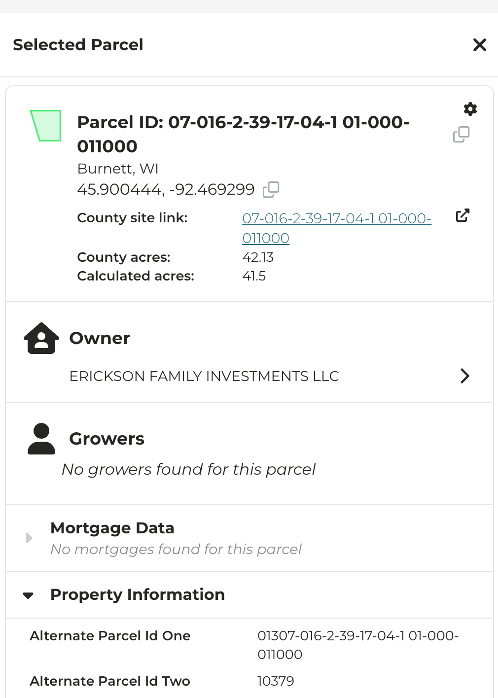
Alternate Parcel IDs
CamoAg will now display alternate Parcel IDs, if available. The APN can be seen within the Property Information details when viewing a parcel on the map.
A county assessor may sometimes assign an alternate parcel number (APN) for numerous reasons - we’ve listed a few of the more common reasons below:
- Correcting errors
- Parcels have been subdivided or there was a need for a new parcel number
- Maintaining historical records by linking to a previous parcel ID
- Software used by the assessor assigns an APN that is different from another department
Last modified on May 22, 2026